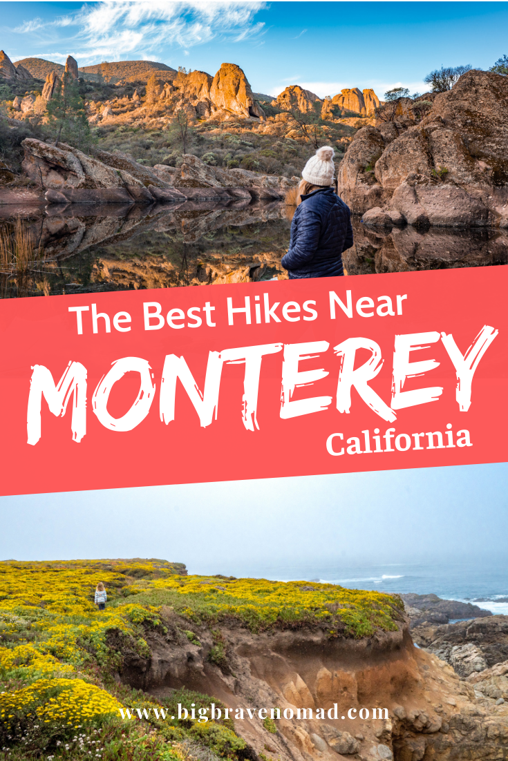
The Best Hikes Near Monterey California
/If you’re looking for the best hikes near Monterey, you’ve made it to the right page. While exploring Monterey you’ll find tide pooling, whale watching, famous scenic drives, a golfing paradise, wine tasting, and some of the best hiking trails in the bay area. The hiking trails near Monterey are the ideal place to experience true California. From rugged coastal paths to climbing the local mountains to wandering along through a valley of natural Cala Lilies, Monterys hiking trails will take you there. If you’re trying to find the perfect family hike or the best hikes in Big Sur — this blog will help you. So, grab a pen and your calendar - it’s time to schedule your next hike!
Table of Contents
Click the park names below to skip to hikes in that area.
Garapatta State Park (20 minutes driving)
Big Sur (30-50 minutes driving)
Point Lobos State Reserve (15 Minutes Driving)
Fort Ord National Monument (30 minutes Driving)
Pinnacles National Park (90 Minutes Driving)
Henry Cowell State Park (70 Minutes Driving)
Freemont Peak State Park (70 Minutes Driving)
Garland Ranch Regional Park (20 Minutes Driving)
Jacks Peak County Park (20 Minutes Driving)
If you’re going to spend the weekend in Monterey, check out my guide on the perfect family itinerary for Monterey.
Monterey Bay Coastal Trail
The waterfront Monterey Bay Coastal Recreation Trail is an -long path that leads from Pacific Grove to Castroville. While this coastal trail is not technically a hike, it is extremely popular for walkers, hikers, roller skaters, and skateboarding. The Monterey Bay Coastal Recreation Trail hugs the coast and provides easy access to the Monterey Bay Aquarium, Cannery Row, and Fisherman’s Warf. If you don’t have time to head out into Big Sur’s Redwood Forest or drive out to Pinnacles National Park, this trail is an amazing option to get outside and experience Coastal California.
Garapatta State Park
Garapatta State Park is located in Carmel just north of Big Sur and has a few fun and very rewarding hikes.
How far is Garapatta from Monterey? Less than 20 minutes!
Soberanes Point and Whale Peak Trail: This is a 1.8 mile moderately trafficked loop trail located near Carmel-by-the-Sea, California. The trail walks along the rugged California Coast. In the summer months, the area is bursting with a super bloom of orange and purple flowers. The hike to the top of Whale Peak is not strenuous and is mostly stairs. From the too you can look down along the coast toward Monterey and back to see Highway 1 curve up to Big Sur.
Cala Lilly Valley: This hike can be very short or you can make it longer and hike up the hill to Garapatta Beach. Calla Lily Valley is a 1.1-mile moderately trafficked loop trail located near Carmel, California. The wild Cala Lillies are absolutely unreal and the valley has a creek that flows down to the ocean. There are little footbridges to cross the creek to the ocean. (Technically this trail is a part of Garapatta State Beach, not Garapatta State Park, but they are very close to each other)
Other Hikes in Garapatta State Park to check out: Soberanes Canyon Trail
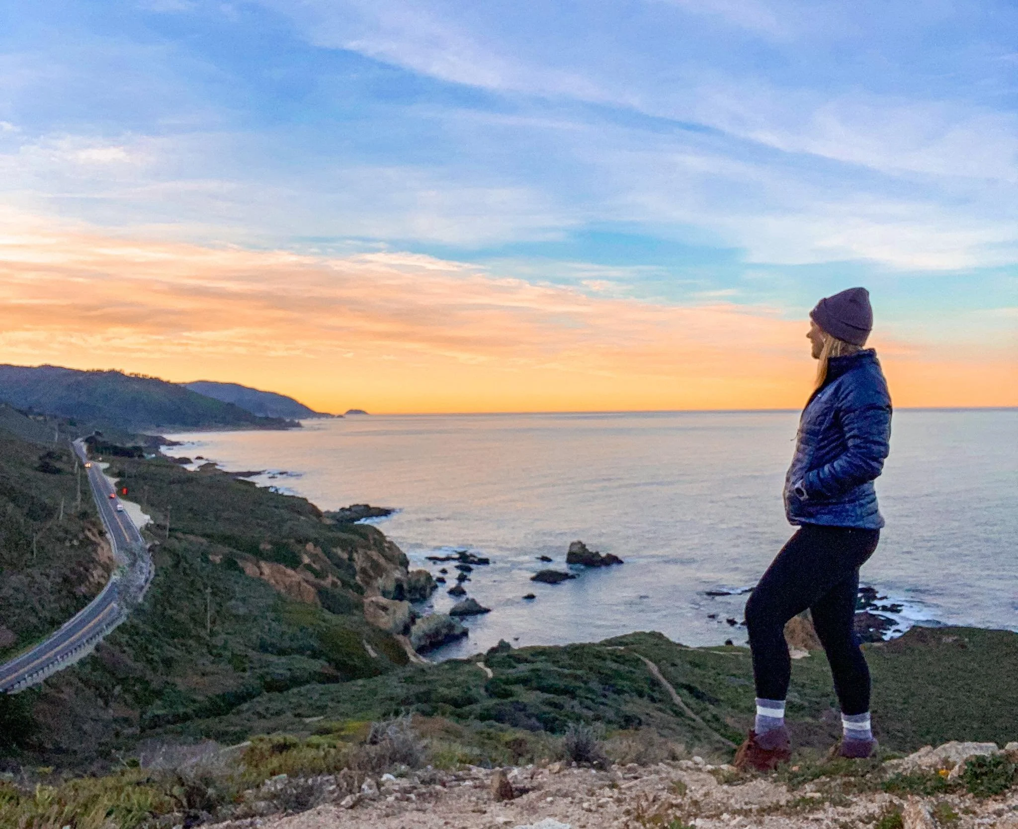
From Whale peak, you can see highway 1 curving along the rugged coast down to big sur

Soberanes point is incredible during the superbloom or anytime of year.

Calla Lilly Valley one of Monterey County’s hidden gems
Big Sur
Big Sur is made up of three state parks; Pfeiffer Big Sur State Park, Julia Pfeiffer Burns State Park, and Andrew Molera State Park. Pfieffer Big Sur offers 8 different hiking trails ranging from 0.6-miles to 46-miles round trip, Andrew Molera State Park offers 12 trails ranging from 0.1-miles to 5.5-miles long, and Julia Pfieffer State Park offers 7 trails ranging from 0.25-miles to 6.5-miles roundtrip. All of the hiking trails in Big Sur are unique. Most of the trails in Big Sur follow the forest and mountains, while only a few take hikers down to the coast. Below are the best hikes in Big Sur in my opinion.

***The state parks cost $10 for a day pass, but if you pay in one park, you can enter any of the other State Parks in the same day on that pass.
Big Sur River Gorge Trail: (Pfieffer Big Sur State Park) This short paved trail leads you to the Big Sur River Gorge. You can continue on by wading in the river and climbing along boulders and logs. We waded in and swam for a few hours. Redwood trees line the river banks and the water is very cool.
Pfieffer Falls Trail: (Pfieffer Big Sur State Park) This moderate 2-mile trail takes hikers on a moderate climb up 200 feet through Redwood and Oak woodlands. After taking a left at the fork, you’ll climb another 300 feet to the Valley View Overlook. At the top, there are panoramic views of the Big Sur River Valley, Pt. Sur, and Andrew Molera State Park. As you head back, take the right fork to catch a view of Pfeiffer Falls, a 60-foot waterfall.
Pfieffer Beach Trail: While this is technically just a walk along the beach and not a defined trail, it is one of the must-see spots in Big Sur. Arguably, this is the best hike in Big Sur because you are up close to the rugged coast while getting to experience the soft sand. Walk along the beach all the way to the sea cliffs to be fully immersed in Coastal Big Sur. Sunset is a popular time in the park while people try to photograph the sun setting behind Keyhole Rock. **This park is managed by the NPS and is not included in the $10 CA State Park Fee, it costs $12 to enter this park.
McWay Falls: (Julia Pfeiffer Burns State Park.) At the end of a very short trail, you will reach the overlook. (Shown below in the photo) Here you can look out and see the 80-foot-tall McWay waterfall spilling out onto the sand. This path is so short and won’t take you longer than 15 minutes. It is suitable for all ages. It is the most photographed spot and one of the most popular hikes in Big Sur, so expect to see others here. **There is no access to this beach.

This is as close as you can get to Mcway falls right now!
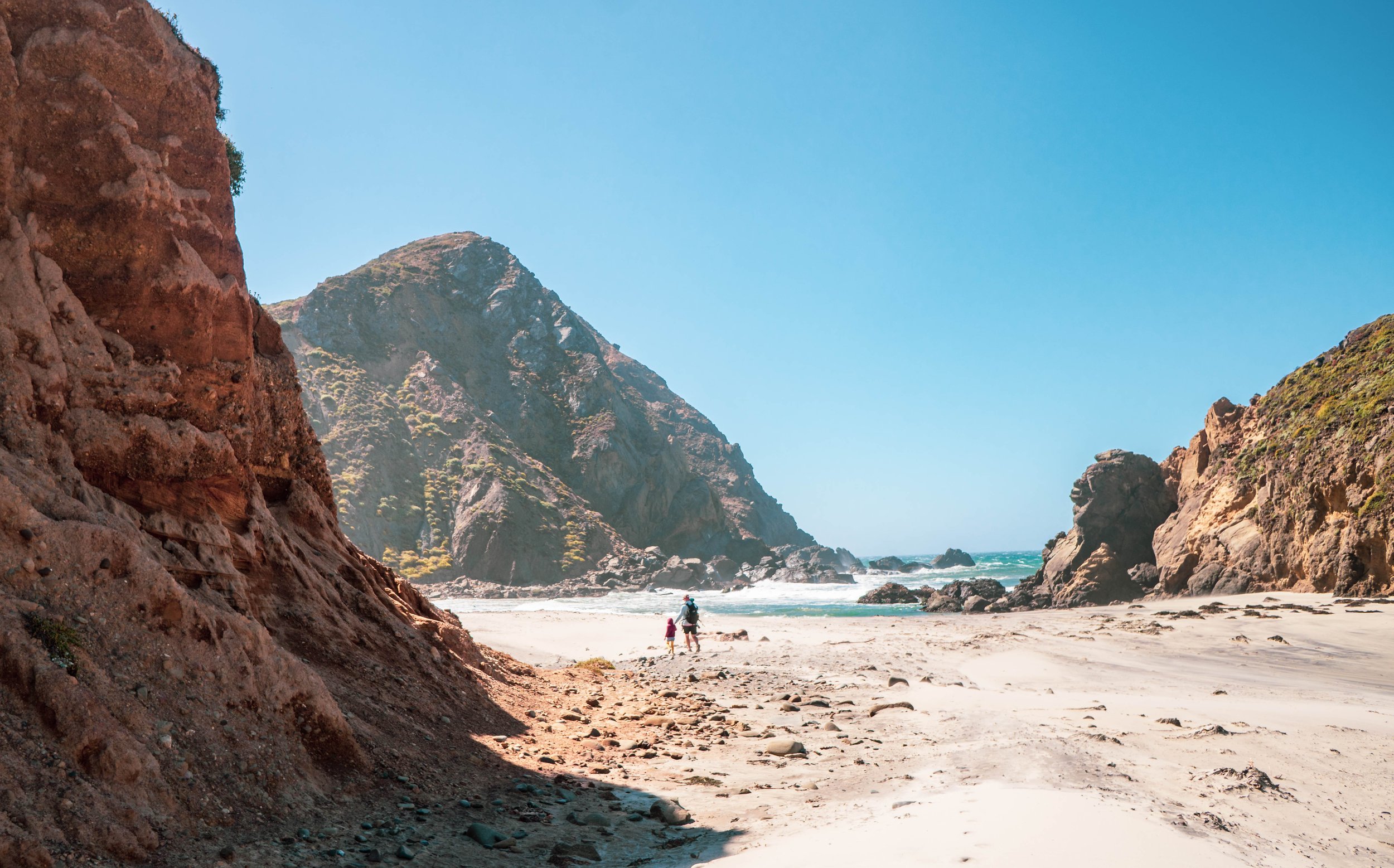
take a walk along pfieffer beach in big sur - don’t miss seeing the key hole rock at sunset
Point Lobos State Reserve
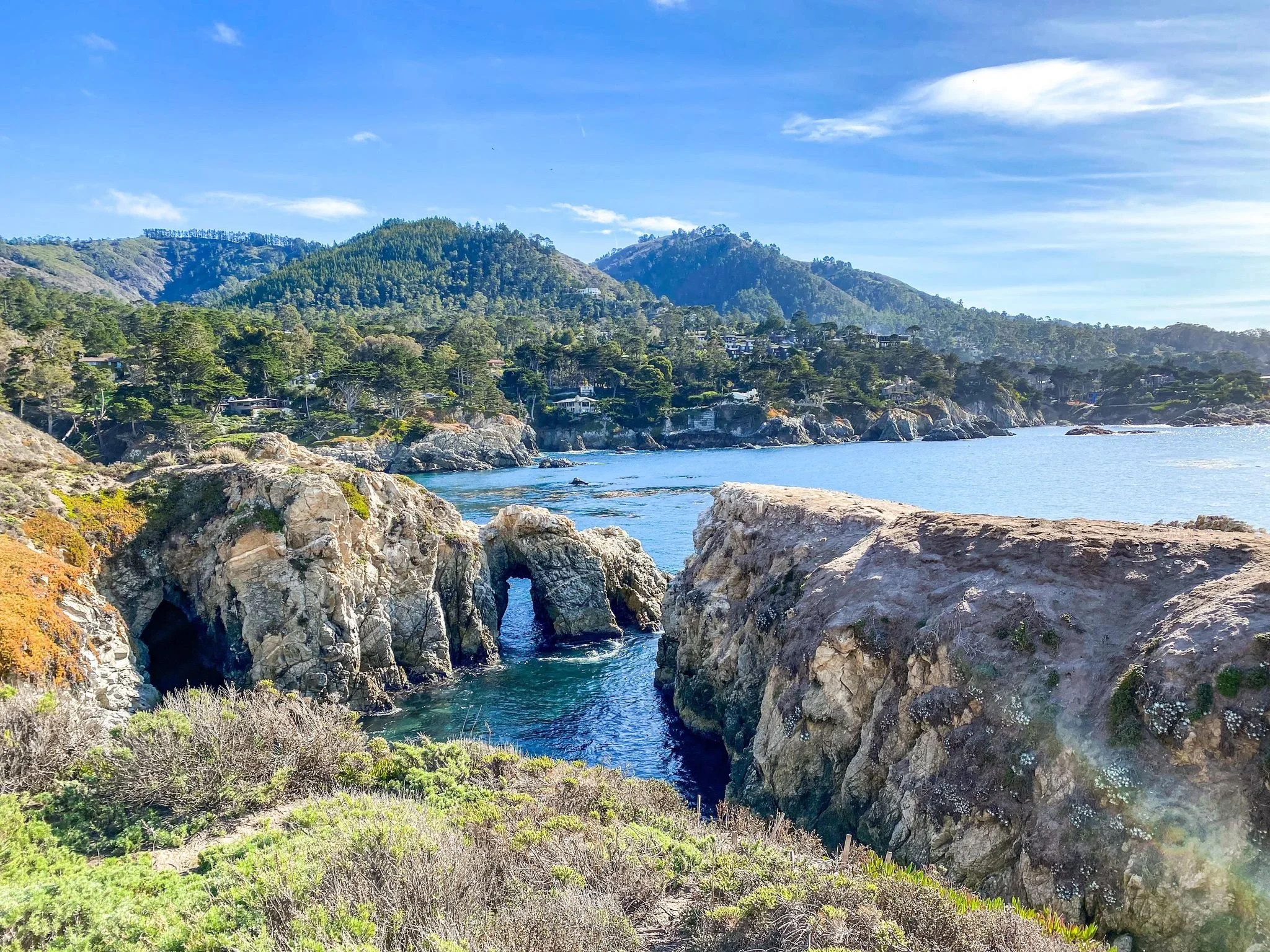
Point Lobos State Reserve: This park offers many easy hiking trails, all with rewarding views. Point Lobos hiking trails are home to rare plant communities, endangered archeological sites, unique geological formations, and incredibly rich flora and fauna of both land and sea. Point Lobos hikes vary in length, but all of the trails in Point Lobos offer incredible ocean views and opportunities to see wildlife!

Mothere an baby harbor seals at the harbor seal nursery in china cove
How far is Point Lobos from Monterey? Less than 15 minutes!
China Cove Trail: This trail heads up a hill to overlook a cove where there is a keyhole rock, crystal clear blue water, and is home to a seal nursery. Follow the path around to Bird Rock where you can see Brandt’s cormorants and Western gulls. You can see the little chicks if you visit during hatching season! This is the best trail in Point Lobos and it is the busiest! If you can, park in the Bird island Trail parking lot. Cost: there is a $10 fee for a day pass.
Shore Trail: This trail follows the coast throughout the park. It is perfect for a casual walk to experience the rugged coast of California. Here you can stop to search the tidepools at Weston Beach or Hidden Beach, look for sea lions at sea lion point, and get a constant ocean breeze.
A key hole rock along the trail to bird rock
Fort Ord National Monument
Fort Ord National Monument was established to celebrate the heroism and dedication of men and women who served our nation and fought in the major conflicts of the 20th century. This park has 86-milea of hiking trails that wind through rolling hills, pockets of chaparral, and oak woodlands. Fort Ord is home to the some of the most unique hiking trails in Monterey.
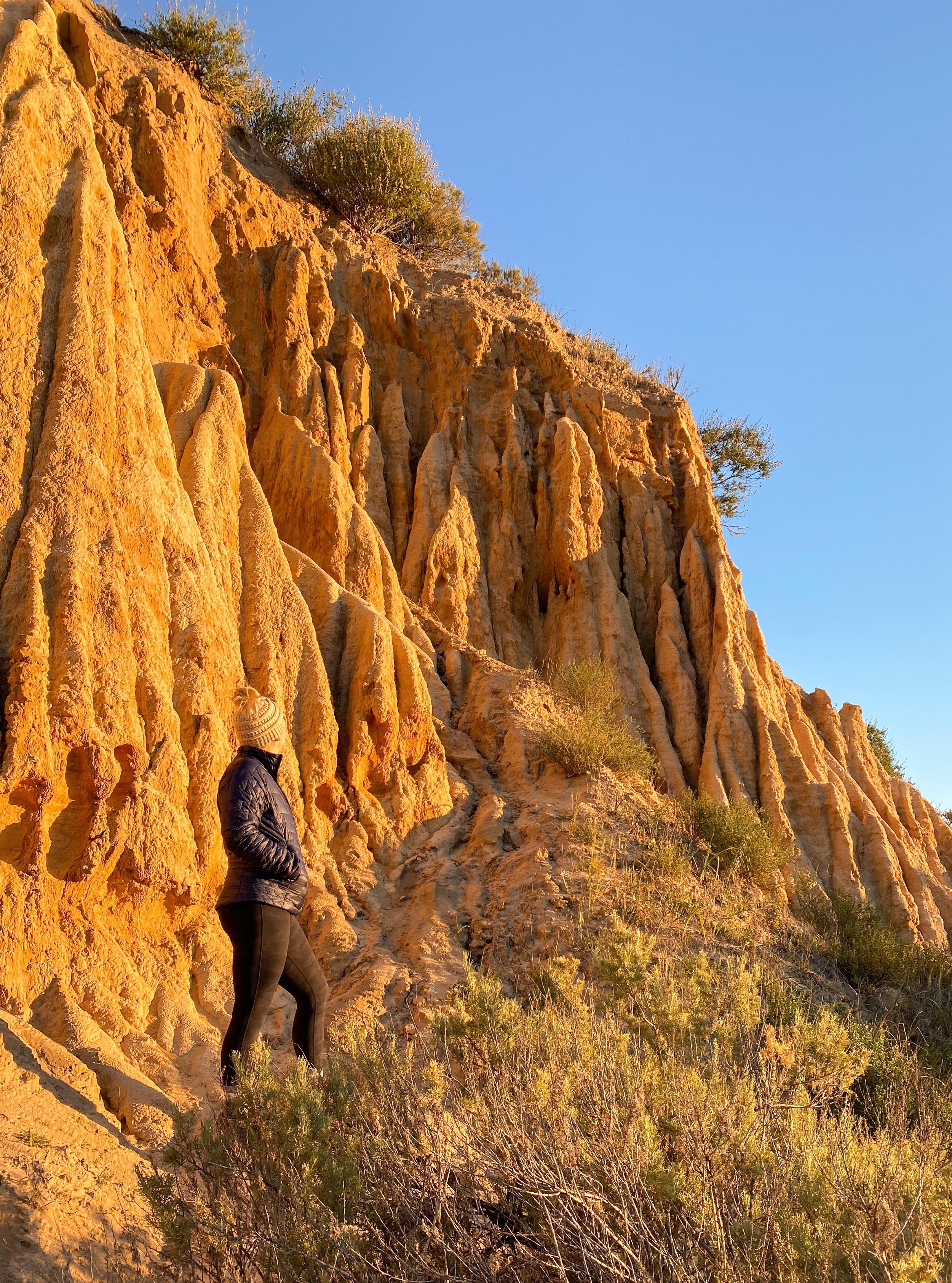
Trail 30: All of the trails in Fort Ord zig zag through each other. If you’d like to get up close to the dirt formations, take Trail 30 from the Reservation Road parking area towards Sand Ridge Road.
If you want to do a loop that includes the formations and sweeping overlooks, take Trail 30 to Sandy Ridge Road to Track 33 to Track 36 to Track 31. This route will be about 2-3 miles and does have a steady, but easy incline to the overlook.

The rising sun coming through the trees in Fort Ord

The sunrises through the gorgeous tress in Fort Ord
Pinnacles National Park
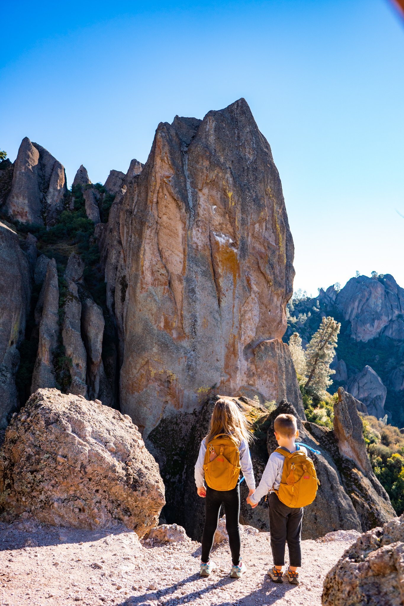
Tunnel trail - most easily accessed from the west entrance
Pinnacles National Park: There are two sides to this park, but the West entrance is only about 90 minutes from Monterey Bay, but still in Monterey County. As one of the 63 U.S. National Parks, it boasts some incredible and unique hikes through chaparral, oak woodlands, and canyon bottoms. Hikers enter rare talus caves and emerge to towering rock spires teeming with life: prairie and peregrine falcons, golden eagles, and the inspiring California condor. Head to my Pinnacles National Park guide for more information on this American gem. These are the best day hikes in Pinnacles National Park.
How far is Pinnacles National Park from Monterey? The West Entrance is 75 minutes driving and 90 minutes to the East Entrance.
Bear Gulch Cave Trail (East Entrance): This is a 1.5-mile loop. Bear Gulch Cave Trail starts at the Moses Spring Parking Area. Take the 0.2 mile Moses Spring trail to where it T’s and go left toward the cave. You’ll then be climbing through the amazing talus cave. Once through the cave, you will emerge at the Bear Gulch Reservoir. From here, you head up toward the Rim Trail which takes a scenic but less daring course along the rim of the gorge. The trails reunite back at the Moses Spring Trail.
Balconies Cave Trail (West Entrance): This easy 2.4-mile trail is a great one for families or someone looking for an easy scenic hike. Hikers are rewarded with awesome views of the Pinnacles and the hike takes you through the Balconies Cave. (Flashlights are required for this portion)
Juniper Canyon Trail (West Entrance): This 2.5-mile trail is moderate. Just before the start of the switchbacks that lead up to the Tunnel Trail, there is an absolutely epic view of the Pinnacles. If you’re feeling frisky and have extra energy, I suggest adding the High Peaks trail down to Tunnel Trail to make a loop. This makes the hike about 4.5 miles and is totally worth every step.

Bear Gulch reservior - most easily accessed from the east entrance

balconies cave trail - most easily accessed from the west entrance
Henry Cowell State Park
Henry Cowell Redwoods State Park is nestled in the Santa Cruz Mountains and is most famous for the 40-acre grove of towering old-growth redwood trees. I highly recommend this hike for anyone looking for a chance to walk among ancient Redwood Trees, but doesn’t have time or resources to head to Redwoods National Park. There is a $10 day-use fee for the day-use area. If you have time, explore beyond the redwood grove where you’ll find four diverse habitats: grasslands, river/riparian, sandhills, and redwoods. There are over 30 miles of hikes in Henry Cowell Redwoods State Park.

A banana slug we found hiking along the trail in henry cowell redwoods state park
Redwood Grove Loop Trail: (Highly recommend) This easy 0.8-mile loop takes hikers through an old-growth Redwood Grove. Along the path, the largest tree is approximately 277 feet tall and 1,500 years old. Don’t miss a stop at the famous Fremont Tree where you can climb in and stand up inside! Along this hike, keep your eyes out for banana slugs! We usually find 2-10 along this path! This trail is the best hiking trail for families near Monterey, in my opinion. While you’re there, take a ride on the Roaring Camp Train!
Only 3 hours from Henry Cowell is Yosemite National Park, check out my itinerary for a Day Trip to Yosemite!

The trees are amazing in henry cowell redwood state park
Freemont Peak State Park
Freemont Peak State Park: Located on the border of Monterey County, this unique state park is the perfect spot to hike to and watch the sunrise.

the entire hike is full of gorgeous views
Freemont Peak Trail: This is an easy hike and is less than 2 miles round trip. On a clear morning, you can see all the way to Monterey Bay from the peak. Pack a lunch and have a picnic at the top! You can see a short video I created of this hike HERE.
How far is Freemont Peak from Monterey? It is about 70 minutes driving. After your hike, stop in historic San Juan Bautista for lunch and visit the San Juan Bautista Mission that was built in 1797.
If you’re looking for a fun day trip, check out my guide to Muir Woods National Monument!

at the summit of freemont peak, you can see all the way to the ocean
Garland Ranch Regional Park
Garland Ranch Region Park is located in the heart of Carmel Valley, and it is home to a variety of landscapes; from the willow-covered banks of the Carmel River through the cottonwood-sycamore stands of the old floodplain. Atop the northern crest of the Santa Lucia Mountains, the trails encounter open oak savannas and spectacular vistas.
How far is Garland Ranch from Monterey? It’s about 20 minutes driving!
Garland Ranch Waterfall to Siesta Point: This 2-mile trail takes hikers across a footbridge and along the Lupine Loop trail to Sycamore Trail to the Garland Ranch Waterfall. The falls are not always flowing, but the rock formation is cool to see. After the falls, take the Sycamore trail back to where it splits and follow it toward Siesta Point. This point has sweeping views of Carmel Valley. From here, head down to the Buckey Nature Trail. This Nature Trail is a very easy stroll that has educational placards to learn about the ecology of the area. The Nature Trail ends at the Visitor Center!
**Bring your swimsuit if you’d like to take a dip in Garzas Creek which is along a peaceful, shaded trail that reaches a secluded side canyon of redwoods.

The view from siesta point is pretty awesome - it has 180 degree views of carmel valley
Jacks Peak County Park
How far is Jacks Peak from Monterey? Less than 15 minutes!
Jacks Peak Park has almost 8.5 miles of hiking trails that wind through cathedral-like forests and lead to ridge top vistas overlooking the Monterey Bay. This park is a haven for the locals and is a family friendly hiking trail in Monterey. The parking is $5 on the honor system.
Skyline Self-Guided Nature Trail: This easy 0.8-mile nature trail leads the summit of Jacks Peak and features fossils from the Miocene epoch. This downloadable brochure will guide hikers along the trail where they can learn about the local ecology of Monterey.

The view of monterey bay from jacks peak park
These are the best hikes near Monterey in my opinion, but they aren’t all of the hikes! The Monterey hiking trails wind all through the mountains and along the coast, so try as many as you can to find the one you love the most. The hiking trails near Monterey are the ideal place to experience true California. From rugged coastal paths to climbing the local mountains to wandering along through a valley of natural Cala Lilies, Monterey’s hiking trails will take you there. When you find the best hike in Big Sur or narrow down your favorite hike in Pinnacles, come back and let me know!


AMAZON AFFILIATE DISCLOSURE:
There are links on this site that can be defined as “affiliate links”. This means that I may receive a small commission (at no cost to you) if you subscribe or purchase something through the links provided.
Big Brave Nomad is a participant in the Amazon Services LLC Associates Program, an affiliate advertising program designed to provide a means for website owners to earn advertising fees by advertising and linking to amazon.com, audible.com, and any other website that may be affiliated with Amazon Service LLC Associates Program.